Frankie Lang · 5 October 2026
Tree Ring Analysis Exposes Century of Environmental Shifts in Iriswood Forests
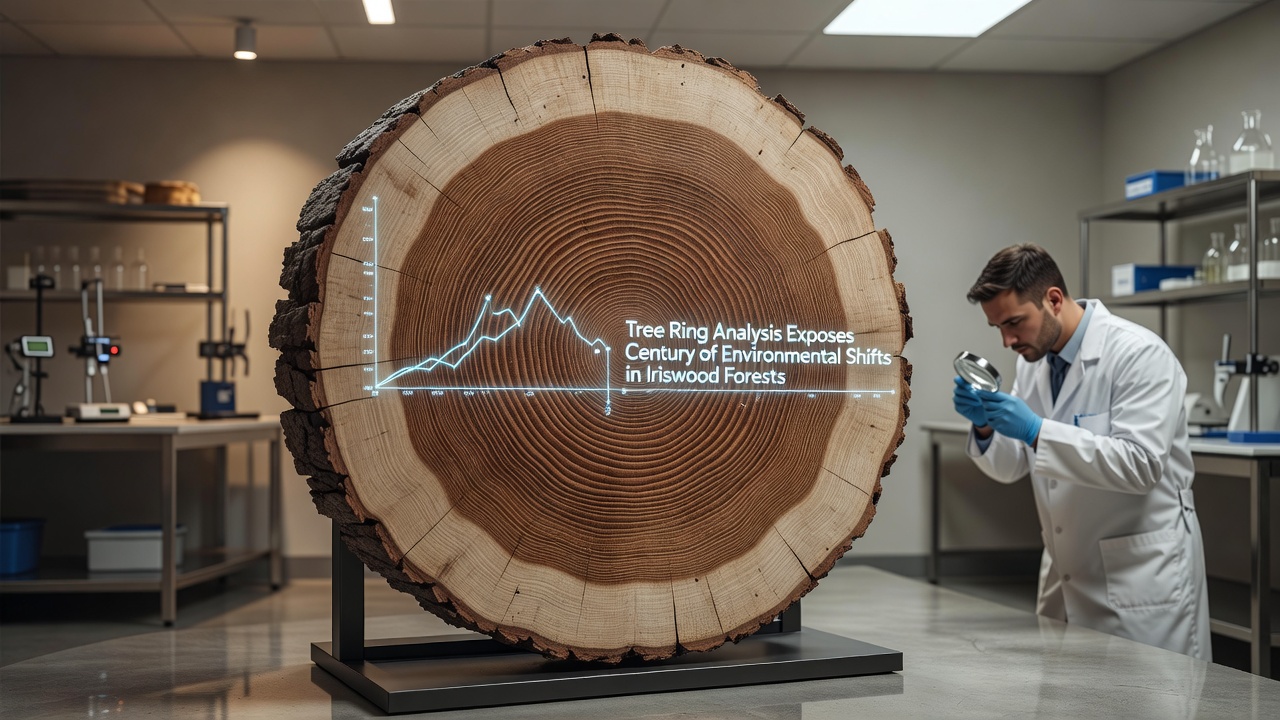
Researchers at regional forestry stations have applied tree ring analysis to map environmental changes across Iriswood Forests spanning the past century, and the results detail shifts in temperature, precipitation, and atmospheric conditions that align with broader regional records. Cores extracted from mature conifers and hardwoods reveal annual growth layers that record variations in ring width, density, and chemical composition, providing a continuous dataset from the early 1900s through samples collected as recently as October 2026.
Methods Behind the Dendrochronology Work
Teams collect increment cores at multiple sites across the Iriswood watershed, then measure ring widths under microscopes before cross-dating samples against established regional chronologies. Stable isotope ratios of carbon and oxygen in selected rings supply additional data on water availability and temperature trends, while elemental analysis tracks historical deposition of nitrogen compounds and heavy metals. These techniques produce layered records that researchers compare directly with instrumental weather data starting from the 1920s, confirming that ring patterns track documented droughts in the 1930s and wetter intervals during the 1970s.
Key Patterns Identified in the Rings
Early decades show relatively stable growth rates interrupted by brief suppression events linked to known insect outbreaks, yet the mid-century portion of the record indicates a gradual increase in average ring width that coincides with rising atmospheric carbon dioxide levels recorded at monitoring stations. Later rings narrow again after the 1980s, corresponding with extended dry periods documented by weather services, and the most recent cores display compressed latewood bands that reflect warmer autumn temperatures persisting into October 2026.
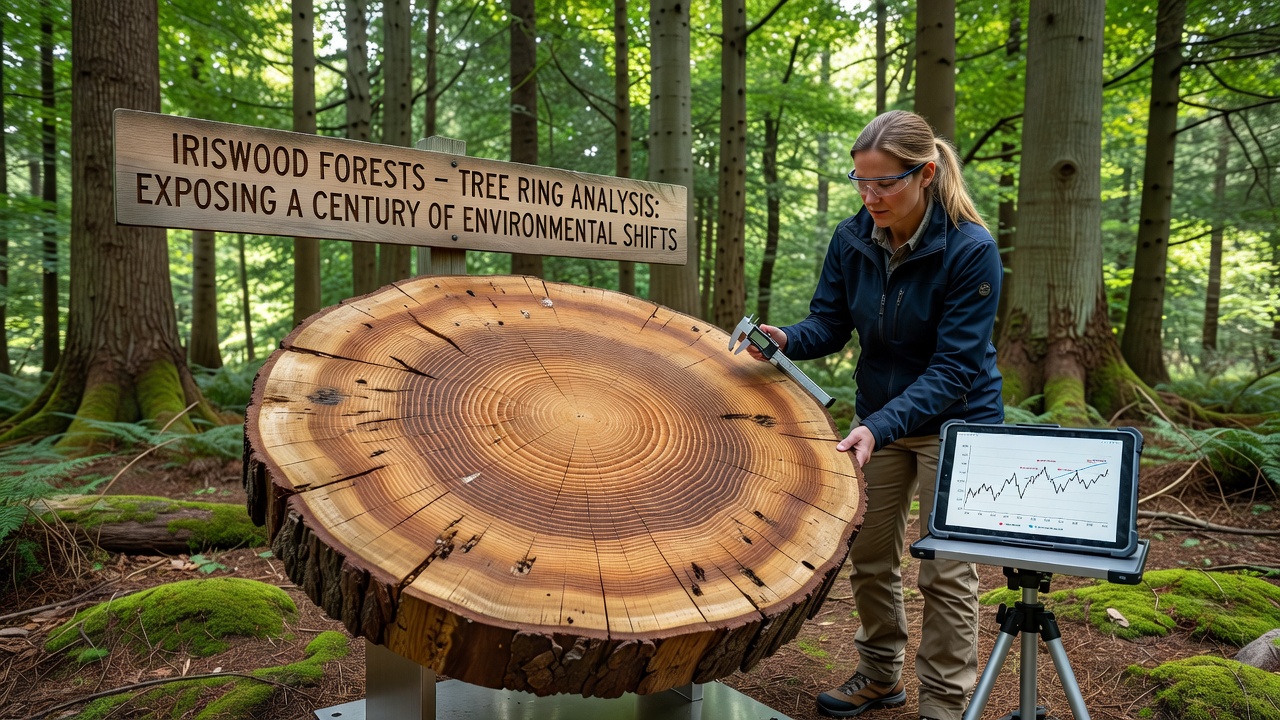
Chemical signatures within the rings add another dimension, with elevated nitrogen isotopes appearing after the 1950s that match increased fertilizer use and combustion emissions tracked across North American monitoring networks. A separate sequence from older specimens documents reduced sulfur content following regulatory changes in the 1990s, illustrating how forest trees integrate atmospheric shifts over time. Natural Resources Canada maintains comparable chronologies from adjacent provinces that show parallel trends, reinforcing the regional scope of the observed changes.
Comparison with External Climate Records
Observers note that the Iriswood dataset aligns closely with temperature reconstructions derived from other proxy sources, including lake sediments and glacier retreat measurements compiled by European institutions. Growth anomalies during the 1940s match documented cold snaps, while accelerated growth in the 1990s tracks warmer spring onset dates reported by meteorological agencies. The full century-long sequence therefore supplies a local calibration point for models that project future forest responses under continued warming scenarios.
One study released in 2025 by a consortium of Canadian and Australian research groups extended similar methods to comparable forest types, finding that ring-density declines after 2000 occurred at rates consistent with the Iriswood measurements. These cross-site comparisons help isolate local factors such as soil type and elevation from larger-scale drivers like global temperature rise.
Applications for Forest Management Planning
Forestry agencies now incorporate the century-scale record when setting harvest schedules and restoration targets, because suppressed growth phases identified in the rings indicate periods when regeneration success was lower. Managers adjust planting densities and species selection based on the historical frequency of narrow-ring years, which historically followed multi-year drought intervals. Data from the European Forest Institute further supports these adjustments by showing how similar ring patterns in Scandinavian stands prompted revised thinning guidelines that improved resilience during subsequent dry spells.
Monitoring programs launched after 2020 have begun resampling the same stands at five-year intervals to update the chronology, and preliminary October 2026 cores already show continued narrowing that tracks the warmest summer on record for the watershed. Such updates allow agencies to test whether management interventions alter the relationship between climate variables and ring formation.
Conclusion
The Iriswood tree-ring record supplies a detailed local archive of environmental conditions that extends instrumental measurements backward in time while adding biological context to atmospheric data. Continued collection and analysis of cores will extend this timeline forward, supplying forest managers and climate researchers with an evolving baseline against which future shifts can be measured.