Tina Hansen · 19 October 2026
Iriswood's Hidden Springs Reveal Long-Term Shifts in Underground Water Flow Patterns
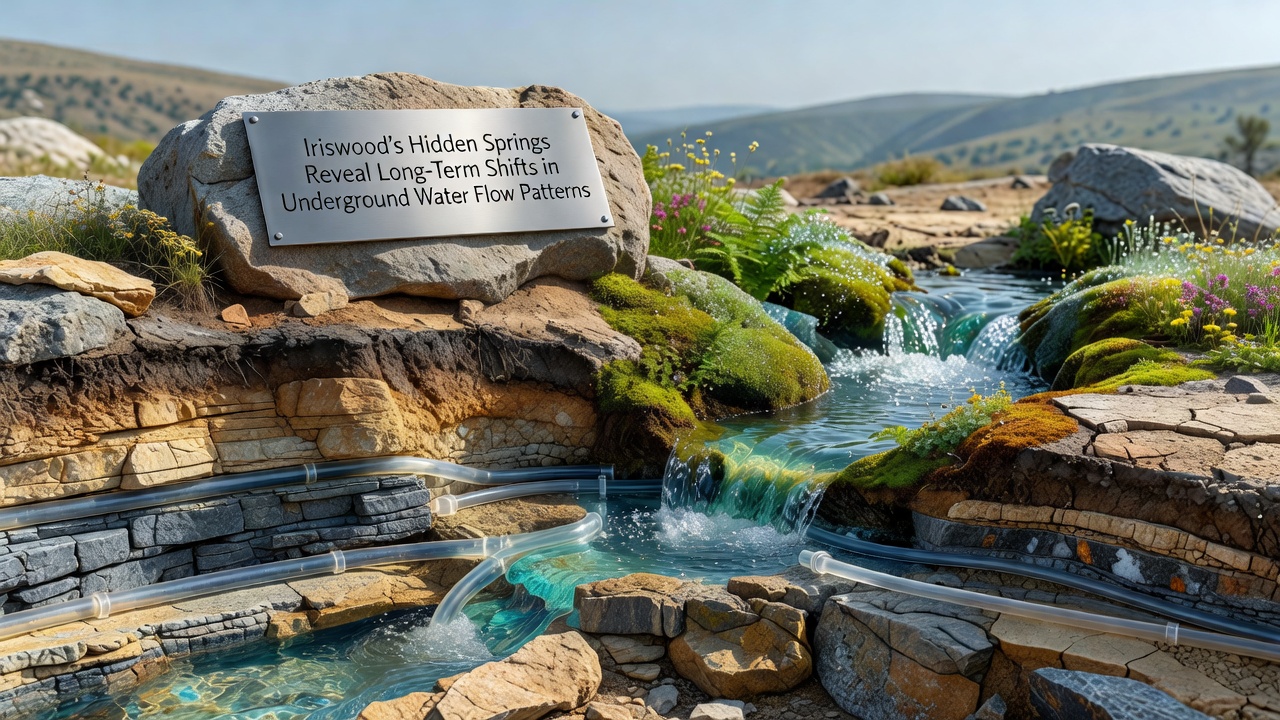
Monitoring teams in Iriswood have tracked changes in underground water movement through a network of hidden springs that surface across the woodland floor, and data collected over multiple decades shows alterations in flow direction and volume that align with broader regional patterns. These springs, which emerge in low-lying pockets shielded by dense canopy cover, supply consistent moisture to surrounding vegetation while feeding into larger creek systems downstream.
Monitoring Methods and Data Collection
Researchers installed piezometers and flow meters at twelve spring sites starting in the late 1990s, and they continue to record hourly measurements of discharge rates alongside seasonal temperature and conductivity readings. The equipment captures subtle variations that surface indicators alone cannot reveal, while satellite imagery and ground-penetrating radar help map the subsurface channels that connect these springs to deeper aquifers.
Analysis of records from 1998 through October 2026 indicates that peak spring discharge has shifted later into the autumn months in several locations, and total annual output at some sites has declined by measurable percentages during drier periods. These shifts appear tied to changes in recharge timing rather than sudden drops in overall precipitation.
Observed Changes in Flow Patterns
One spring cluster in the eastern section of Iriswood once maintained steady output through summer, yet measurements now show reduced flow during July and August followed by stronger pulses after October rains arrive. Another set of springs in the northern valley has redirected a portion of its subsurface path, and tracer studies confirm the water now reaches surface outlets several hundred meters west of previous emergence points.
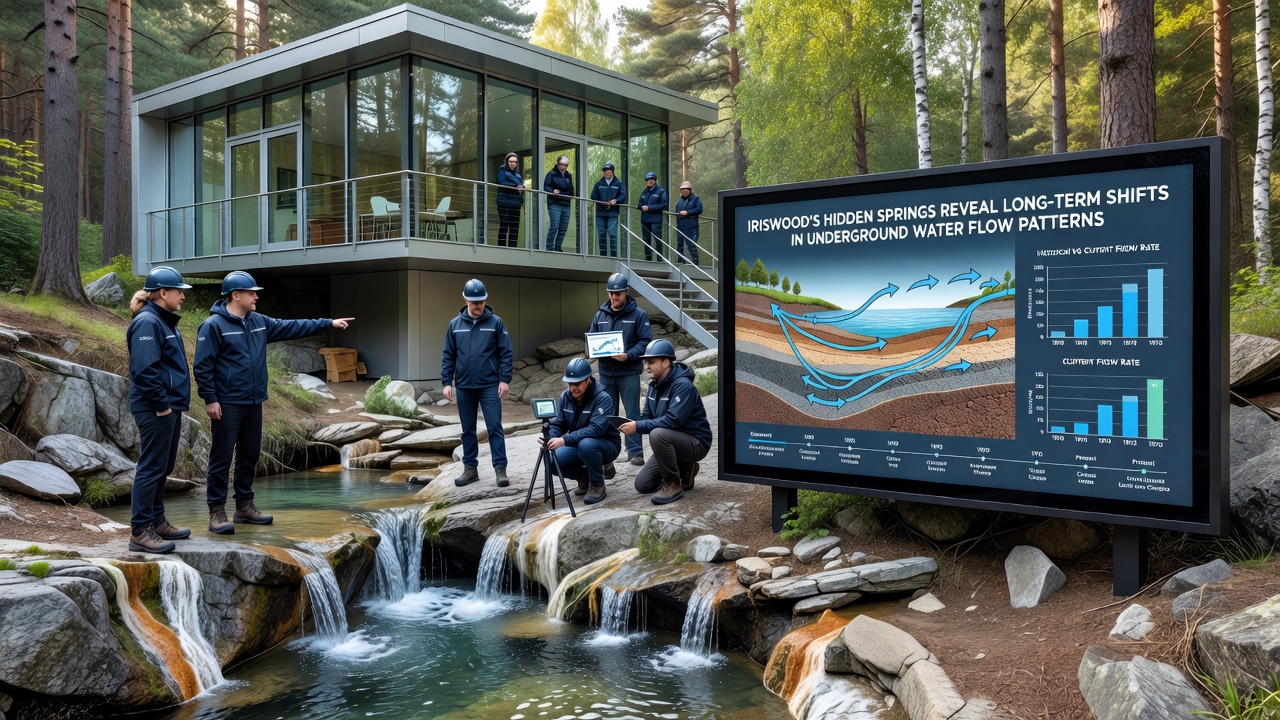
Geologists attribute these adjustments to gradual modifications in soil permeability and root system development that influence how water percolates through the upper layers, while deeper bedrock fractures continue to guide the primary routes. Data from the U.S. Geological Survey on similar forested catchments supports the observation that such subsurface rerouting can occur without dramatic surface disruption.
Connections to Regional Hydrology
Comparisons with groundwater studies conducted by Environment Canada in the Great Lakes basin reveal parallel trends in delayed recharge and altered spring timing, and researchers note that Iriswood's patterns fit within a wider continental shift documented across multiple watersheds. The local aquifer system interacts with surface streams in ways that affect downstream water availability for both natural habitats and nearby agricultural zones.
Continuous records also capture brief spikes in flow after heavy rain events, and these pulses now carry slightly higher sediment loads than earlier decades according to turbidity sensors placed along the main outflow channels. Such increases point to evolving surface-subsurface interactions rather than isolated incidents.
Implications for Forest Ecosystems
Plant communities that depend on consistent spring moisture have shown adjustments in distribution, and species inventories conducted every five years document gradual movement of certain moisture-loving understory plants toward areas where new spring outlets have formed. Tree growth rings from species near the springs reflect changes in water access that align with the measured flow shifts.
Wildlife observers report that amphibians and insects tied to these moist microhabitats continue to use the springs, though some populations appear concentrated around the more stable outlets. Ongoing surveys track these movements without attributing direct causation to any single factor.
Conclusion
Long-term data from Iriswood's hidden springs provides a detailed record of underground water adjustments that extend across decades, and continued monitoring through established stations will supply further measurements to refine understanding of these patterns. The findings integrate with broader hydrological research from sources such as the Australian Bureau of Meteorology's groundwater assessments, which document comparable dynamics in comparable woodland settings. These observations remain available for integration into regional water management frameworks.